⌖
GIS & Geospatial Solutions
Spatial analysis, mapping, georeferencing, coordinate systems, data conversion, and project-ready GIS outputs.
AYVORA provides geospatial and technical solutions that transform complex geological, spatial, and project data into clear, dependable insights.
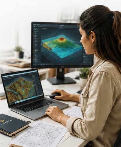
Practical technical support for projects that depend on accurate data, maps, logs, analysis, and reporting.
Spatial analysis, mapping, georeferencing, coordinate systems, data conversion, and project-ready GIS outputs.
Structured borehole, trench, sampling, assay, and geological datasets prepared for reliable technical use.
Systematic checks for completeness, consistency, sequence logic, coordinates, intervals, and analytical data.
Clear reports, summaries, figures, tables, conclusions, recommendations, and professional project documentation.
Preparation and organization of borehole, lithological, seam, and geological logging data for technical workflows.
Flexible support across exploration, mining, infrastructure, and environmental projects—from data intake to delivery.
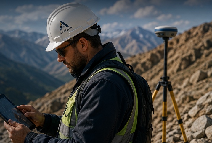
AYVORA is a geospatial and technical solutions company built around one principle: technical work should make decisions easier, not more complicated.
We combine geological understanding, GIS workflows, data quality control, visual communication, and technical reporting to help clients move from scattered information to dependable project intelligence.
Discuss your project →Gather project files, field data, coordinates, logs, maps, and analytical results.
Check structure, completeness, consistency, spatial integrity, and technical logic.
Turn validated datasets into useful maps, models, summaries, and project insights.
Prepare clean, professional outputs that support reporting and decision-making.
Tell us what you are working on. AYVORA can support the data, GIS, QA/QC, logging, reporting, and technical side of your project.